![]()
Tasman Peninsula
Diving Attractions
What is referred to by locals as “the peninsula” is actually made up of two land masses, the Forestier and Tasman Peninsulas. This area offers probably the best combination of diving on the Tasmanian mainland, all areas close to good services. The peninsula has a range of exposed and sheltered waterways. This means that there is always somewhere to dive even in bad weather. It also means that there is a range of diving to suit all experience levels.
The north-west corner of the Forestier Peninsula is sandy and shallow. The diving improves south of Blackjack where the shoreline is mostly dolerite. Wedge Bay is shallow and sandy although there is some good diving that is sheltered from the north against the northern cliffs. In the sheltered head of the bay, Brothers and Sisters Rocks offers some nice sheltered diving.
The southern coastline of Tasman is dominated by impressive dolerite cliffs that are worth a boat trip just for the scenery. The diving is also excellent offering deep and clear ocean water. High cliffs continue up the eastern coast of the Tasman and Forestier Peninsulas. There are drop-offs, wrecks, a seal colony, kelp forests, sponge gardens and swim-throughs. The area around Pirate’s Bay is also noted for the large numbers of sea caves that cut into the sandstone/mudstone cliffs. The geology changes again in the northern part of Forestier Peninsula where large granite reefs and drop-offs are common.
The southern part of the peninsula is very exposed, while the northern end tends to be more sheltered. South-westerly weather is very common, meaning that Pirates Bay is often sheltered. Fortunately this area has some excellent diving and is close to charter operators.
Services
There are dive facilities at Eaglehawk Neck and Taranna. The small towns are at Nubeena, Eaglehawk Neck, Dunalley, and Port Arthur provide tourist services.
Road and Boat Access
The area is services by good roads and there is plenty of boat access. Public boat ramps are available at Pirate’s Bay, Dunalley, Fortescue Bay, Murdunna, Nubeena and Port Arthur.
Foster’s Rock
Depth: 10-25 metres Category 2-3
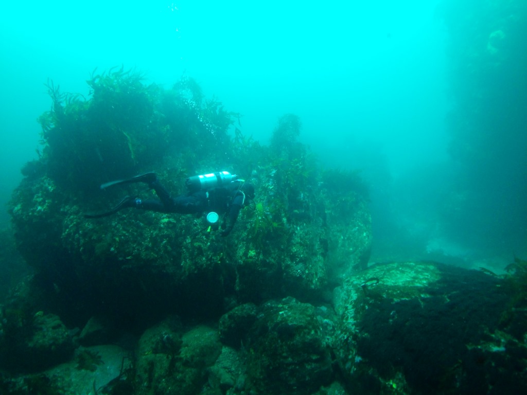
Most of Foster’s ‘Rock’ isn’t visible, but is actually a series of rocky pinnacles, rising within a few feet of the surface. It lies off the Outer Head of Wedge Bay, just to the north of White Rock. The main feature is a series of drop-offs and pinnacles on the eastern side of the exposed section of rock. The face of the wall is about 10 metres high and covered in marine life. This is spectacular in good visibility. The whole rock is covered in smaller rocks that give shelter to some small crayfish. The rock is about 10 metres deep on the top, and drops away to 25 metres at the base. The base of the rock is the best area for interesting growth. This is sometimes a safe spot to dive in strong northerlies.
Brother and Sister Rocks
Rating 4.5 stars Depth: 8-17 metres Category 2
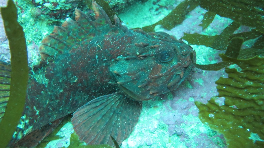
This is a safe and easy alternative dive in strong northerly winds. The best entry point is on a pebbly beach to the north of Brothers and Sisters Rock. The bottom near the boat ramp is sandy and shallow. Entry involves a short scramble over loose stones and divers should exercise caution when loaded with gear. The pebbly beach gives way to a gently sloping reef with a thick garden of seaweed. The dive itself has a good cross section of the local marine life including, octopus, hermit crabs and plenty of the usual types of reef fish.
Wedge Island
Rating 5 stars Depth: 5-9 metres Category 2
Much of Wedge offers a disappointing dive. The area is mostly either shallow and flat or wave-swept and barren. This is disappointing as the eastern end of the island gives shelter from the prevailing south-westerly weather. Only the south-western end of the island is very interesting and this is an exposed area. This shore can only be dived in calm weather and this also improves the sometimes poor visibility. The seaward side of the island has quite a lot of boulders that offer crevices for small marine life. While the fringing shelf in 8 metres is quite wave-swept, deeper water supports a thick weed garden and a few fish. The area is often visited by schools of Bastard Trumpeter and is home to Banded Morwong, Wrasse and Marblefish. This area is very close to a reasonable boat ramp at White beach. In good weather it is an easy and pleasant dive.
Salter’s Point
Rating 6 stars Depth: 8-28 metres Category 2
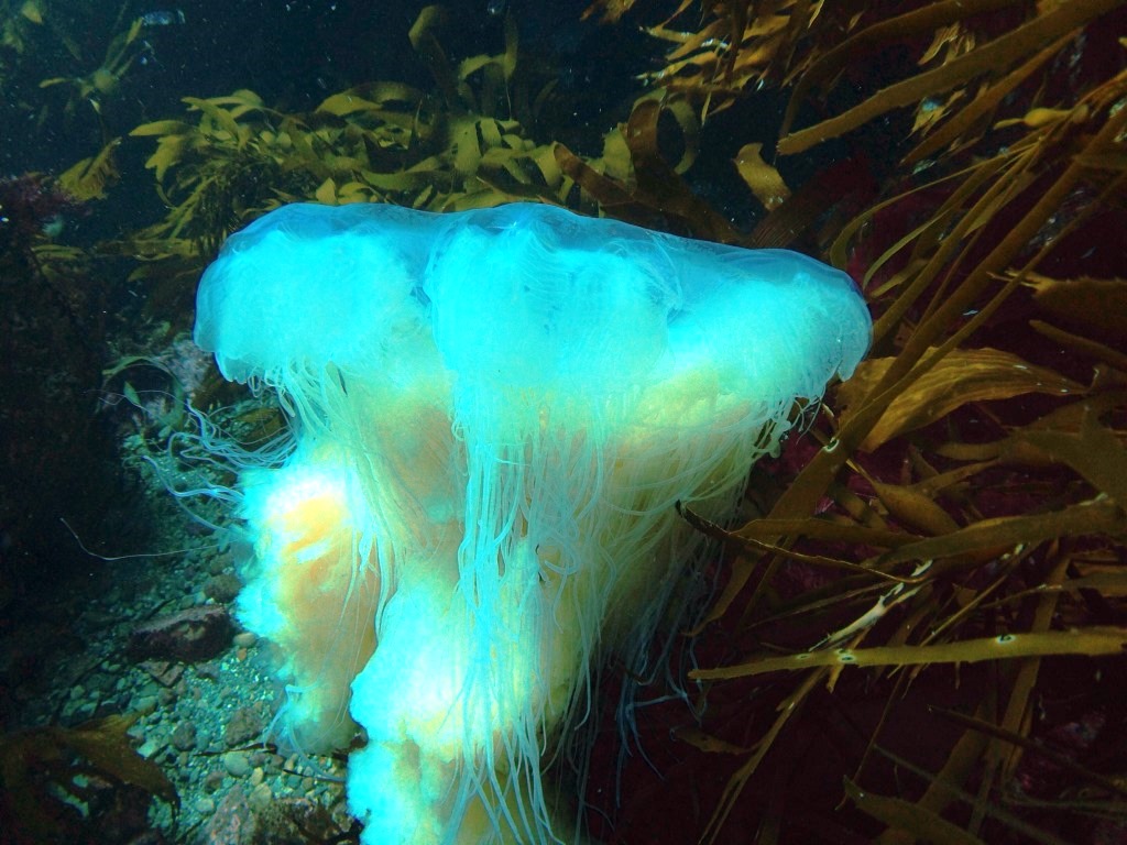
This volcanic bluff is not far from the impressive cliffs of Cape Raoul. It is a good place for an easy cray dive when the weather is calm. The best place to enter is from behind a shallow reef that heads south from the headland and is usually visible from the surface. The top of the reef is shallow and covered in Bull kelp. This barren reef top drops away quickly to 8 metres. The rock walls have some interesting sea animals including some hardy varieties of sea tulip. However, this area is heavily exposed to the swell and fairly bare. The bottom then begins to shelve away in a series of ridges. Many of these contain loose boulders that provide homes for a few crays. Some of the ledges also contain interesting marine life including large patches of zoanthids (sea daisies). Near the point the bottom finally levels out in 28 metres of water. The reef fringe is covered in schools of Butterfly Perch and can be impressive in the right conditions. The area does suffer from poor visibility after periods of heavy weather on a flood tide and is very exposed to south-westerly swells.
Crescent Bay-Mt Brown Cliffs
Rating 6 stars Depth: 20-25 metres Category 2-3
Most of Crescent Bay is fairly shallow and provides some easy snorkelling. The only access is by boat, or by foot along a rough track from Remarkable Cave. This area is most frequently dived when the wind is too strong to dive outside Port Arthur. The cliffs under Mount Brown often provide shelter from the wind. Unlike the rest of Crescent Bay, the cliffs to the south offer some relatively deep diving. It is an attractive area, full of delicate sponges and anemones. The bottom is covered in smaller boulders and these hide a few small crayfish. The water is quite deep close to the cliffs and slopes away quickly into even deeper water.
Safety Cove
Rating 5 stars Depth: 2-5 metres Category 2
This area provides a sheltered and easy dive for snorkellers and beginner divers. The area is noted for the long, shallow reef that runs directly out from the creek near the car park. This reef extends out for some distance and is occasionally broken by patches of sand. Close to the shore the reef is covered in mussels and sea tulips. The reef becomes more substantial about 75 metres offshore as the water slowly deepens. The low rocky bottom supports a nice weed garden and attracts a few reef fish. Occasionally the area is visited by large groups of school fish such as Bastard Trumpeter. Smaller reef fish and the odd seahorse can also be seen. Fishermen occasionally set nets in the bay and divers should avoid these because of the risk of entanglement. Note the position of any net buoys before entering the water. Entry is from a beach that is normally very safe. Strong southerly swells occasionally create large waves on the beach.
Point Puer
Rating 6 stars Depth: 5-15 metres Category 2
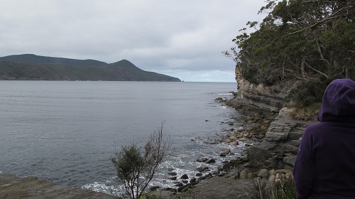
This is an interesting reef dive that is exposed to strong southerly swells. Despite this limitation, it can often be dived in moderately rough weather. The cliffs tend to provide shelter from the worst effects of westerly winds. Near the Isle of the Dead are the Suicide Cliffs. In the convict era, boys from the nearby boy’s prison jumped to their deaths from the cliff tops. Now the site is more serene, noted only for its pleasant kelp garden. The diving here is along a steep slope with many small holes harbouring undersized crayfish. In good visibility the area can be very scenic. At times there is a nice kelp garden near the point. Further along the cliffs to the South the bottom levels out and rock covers a wider area. Large boulders have fallen from the cliffs. These rocks provide shelter for some attractive marine life. Even further south, towards the base of Point Puer, the water deepens and the walls of the cliff are covered in marine life. Large caves can be found, but these should only be entered in calm conditions as they are affected by a strong surge. In short this area is probably the best bad weather alternative inside Port Arthur. The scenery can be excellent and it is still possible to find a few crayfish and abalone.
Frying Pan Point
Rating 4 stars Depth: 2-4 metres Category 1
Close to the historic settlement at Port Arthur there is a small rocky headland known as Frying Pan Point. The site is at the end of the road on the Northern side of Mason Cove. The rocks slope away gently into about 4 metres of water, making this an easy snorkel dive. The bottom is covered in short Macrocystis seaweed and the bottom can suffer from periodic sea urchin plagues. The site is very sheltered and can be dived in almost any conditions. Fish life is reasonably good but the visibility is sometimes not so great after a big sea.
Port Arthur’s Eastern Cliffs
Rating 6 stars Depth: 5-30 metres Category 2-3
Opposite Point Puer there are a series of high cliffs that form part of the Cape Pillar land mass. Near Surveyor’s Cove the shoreline is skirted by a narrow reef that soon gives way to a flat sandy bottom. Further towards Budget Head it gradually deepens and the rocky reef becomes more substantial. At Budget Head it can reach up to 30 metres. The best idea is to see how far you can travel in the prevailing swell and dive as close as possible to Budget Head. The further you travel, the better the diving. At about the halfway mark it is noticeably deeper at around 20 metres. The rocky bottom is dominated by large boulders that have fallen from the cliffs. In even moderate seas you will still be buffeted by surge and divers must keep their wits about them.
Arthur’s Peak Cliffs
Rating 6 stars Depth: 15-25 metres Category 3
Sometimes a sheltered anchorage can be found on the southern cliffs in the small bay near Budget Head. The diving is moderately shallow at the start, but drops away quickly into deeper water. Many rocks can be found along the shore and these are interspersed with patches of flat bottom. These boulders provide shelter for small patches of delicate marine life. Banded Morwong are common amongst the rocks and the area is sometimes visited by school fish. The area is very exposed to the swell making anchoring difficult and diving sometimes uncomfortable. Even so, the dive is quite attractive and worthwhile in good weather.
Tasman Island
Rating 6 stars Depth: 15-35 metres Category 3
Because of bad weather I have only dived the north-eastern side of Tasman Island, near the old lighthouse jetty. Here the bottom drops away quickly into 25 metres, and then continues to slope away into deeper water. There are a wide variety of colourful deep water sponges to maintain your interest. This side is the most protected from the prevailing southerly swell. The area in the channel, and out to the south around “The Monkeys”, can be affected by very heavy currents. While this makes a dive more dangerous it is also likely to bring in a variety of sea mammals and school fish. Much of the southern end is unfortunately quite shallow at around 20 metres, which means that marine life is heavily battered by the swell. Its a case of exploring for some deeper areas or sheltered reefs or boulders, if you are after the really colourful marine growths
Wreck of the S.S. “Nord”
Rating 10 stars Depth: 5-9 metres Category 4
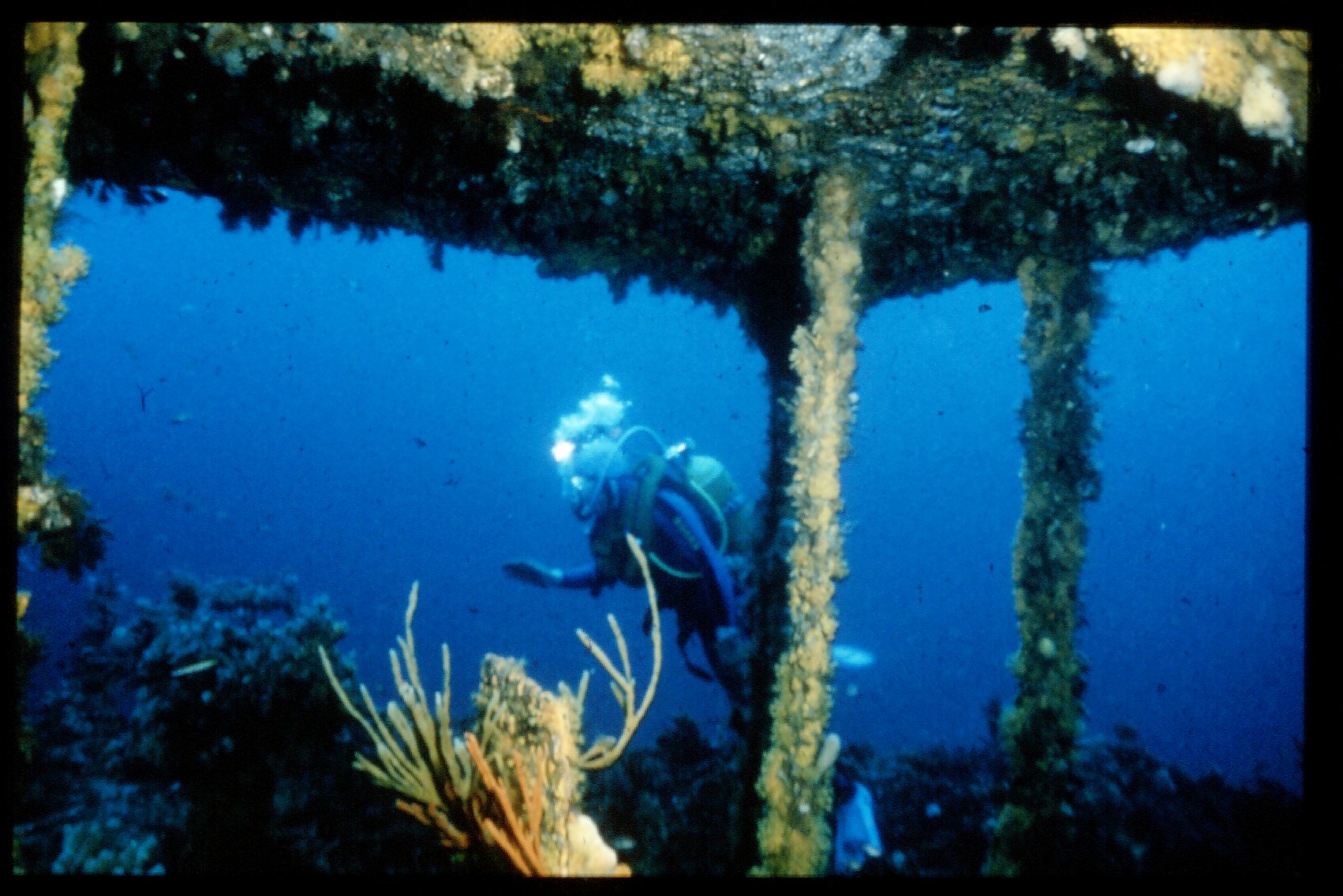
On the 16th of November 1915, the steamship “Nord” was on her way to Hobart with a British (and probably Chinese crew). She was hugging the coast trying to evade bad weather. She was originally built with a shallow draught for the Russian trade and was now carrying cases of motor fuel from the Far East. The captain decided to take his ship in between the Big and Little Hippolyte as his chart showed no obstructions. He did not know that the Needle Rock sat in the middle of the channel, and had claimed the S.S. “Tasman” in 1883. The “Nord” struck in the middle of the night and badly damaged her bow. The captain decided to head for the shelter of Port Arthur, but could not make it around Cape Pillar in the heavy swell. The only remaining option was to beach her in Fortesque Bay and save the crew. However, she had only travelled a few kilometres when rising water put out the boiler fires. Soon she started to take a dangerous list. The crew managed to escape in the boats before the “Nord” sank in the deep waters of Munroe Bight.
The “Nord” is one of the few ‘intact’ wrecks in Tasmanian waters. Although the superstructure has collapsed her hull in still in fair condition. The bow sits on the sand in 42 metres, while the stern rests on a reef with the deck in about 35 metres. In recent years the damaged bow has begun to fall apart and large cracks have appeared in the hull. However, the “Nord” still looks more like a ship than the majority of Tasmanian wrecks which are usually flattened. The wreck has attracted a very thick covering of sponge and attracts large schools of fish. There are huge clouds of Butterfly Perch living on the wreck. A few artefacts can still be seen including tiles, Chinese crockery, Mah Jong pieces and various brass fixtures. This is a hazardous dive because of the depth and dive time is severely limited. The dive is only recommended for experienced divers. Decompression stops and deco gear is required. Oxy-Viva equipment is also highly desirable. This dive is best left to a well-organised club dive or professional charter.
Ship File – “Nord”
Built : 1900 at Grangemouth Scotland as the “Maria Goriainova”
Dimensions: 269.4 ft long
Features: Steel steamer of 1892 gross tons
The Monument
Rating 6.5 stars Depth: 15-30 metres Category 2
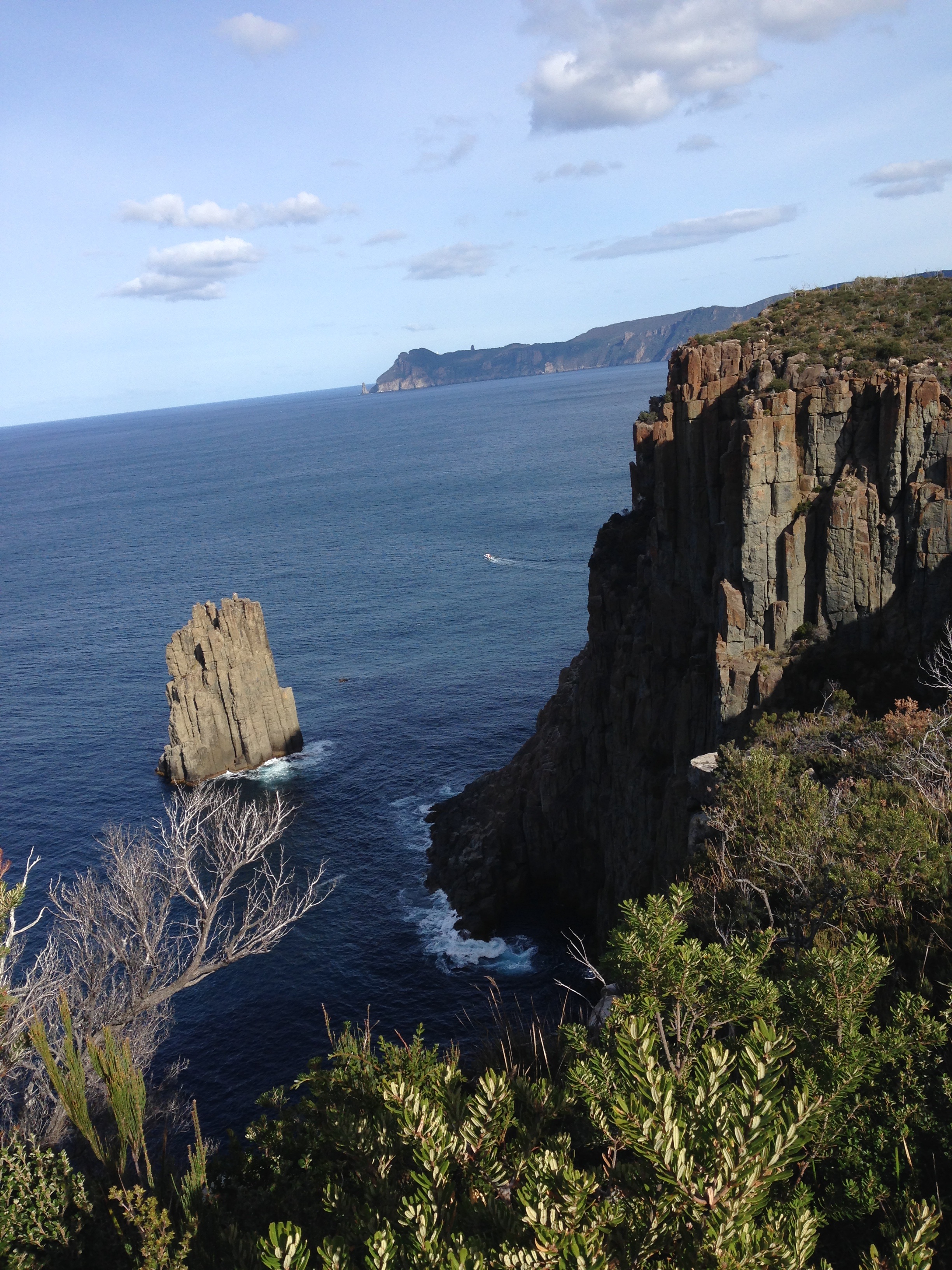
The Monument is a large rocky spire only a few hundred metres south of the Lanterns. Being exposed to ocean currents it normally has excellent visibility. On the eastern side a rock wall drops way into 30 metres. This wall is covered in life and is home to a large school of Butterfly Perch. The rock is exposed to the heavy swell and this can make for an exhausting dive as you are swept across the bottom. It is much shallower on the landward side, but a strong current sweeps through this channel. Always swim into the current and leave plenty of air in reserve. There is also apparently a nice rock spire on the southern side of the rock which is visible from the surface. It can be difficult to find a safe anchorage here in a heavy sea. In the lee of the island the boat is often buffetted by backwash from the cliffs. A very nice dive that is best on a calm day.
Monument Bay
Rating 6.5 stars Depth: 10-25 metres Category 2
Close to the Monument Rock and less exposed to backwash from the cliffs is Monument Bay. The cliffs here are fringed by a sloping rocky reef about 50-100 metres wide. This area offers plenty of cray hunting territory as well as a pleasant scenic dive. The visibility in the area can be very good and the site offers great potential for macro-photography. Close to the cliffs there are some small caves, but they are in very shallow water. It would not be possible to enter these caves except in exceptionally calm conditions. In general, it is a nicely balanced dive that offers something to suit every taste. The whole area is very exposed and even winds off the land tend to funnel down the cliffs causing dangerous squalls. This site is a calm weather dive. Access is from the ramp at Fortesque Bay.
The Hippolytes
Rating 9.5 stars Depth: 30 metres Category 3
Two large islands lie about 8 kilometres to the east of the Fortesque Bay boat ramp. These small volcanic outcrops are very remote and exposed to the bad weather. Down at the 30 metre level the water is still and this has allowed a massive array of invertebrate life to grow. Just about any part of the two islands are covered in anemones, sea whips, nudibranchs and sponges. Also, on the northern side of the Big Hippolyte there is a small seal colony. Any dive on the rocks usually attracts the attention of these animals. Don’t be surprised to find a seal looking over your shoulder during the dive. These factors make for some truly remarkable dives. I prefer the seaward side of the Big Hippolyte. Erosion has created a lot of swim-throughs that are packed with life. A dive on the Little Hippolyte (Cheverton Rock) is also worthwhile. There is a nice garden of sea whips in 30 metres on the western side. Exposed to ocean currents the area often attracts school fish, and the visibility is usually excellent. Some of the best diving in Tasmania in calm weather.
S.S. “William Pitt” – Canoe Bay
Rating 5.5 stars Depth: 2-4 metres Category 1-2
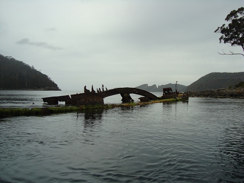
The “William Pitt” was an old steam dredge hopper that was used to dump spoil from dredging operations in the Derwent. Later she was used during the construction of the old Hobart Floating Bridge before falling into disuse. In the 1960’s she was scuttled in Canoe Bay to act as a breakwater for a nearby fish processing venture. The plant failed and the “William Pitt” was left to rust in peace. Nothing of value remains on the hull, which now lies with its bow out of the water and the stern partly submerged. It is a home for Cormorants, Trumpeter, Rock Cod, Banded Morwong and Trachinops. The wreck can easily be entered although some caution is needed in a heavy swell. The interior is partly covered in small and attractive white and red anemones. The sunken stern with its large propeller makes an impressive photograph and Conger Eels sometimes live underneath the hull of the ship. The rocky reef near the wreck also offers some easy diving. It is a good place to finish off the tank. The area makes for an easy snorkel dive and fit parties can carry their gear to Canoe Bay. This is reached by a short walk along the Tasman track which starts from the end of the beach at Fortesque Bay.
Ship File – “William Pitt”
Built: 1904 at Audbrook England
Dimensions: 164 ft x 27.1 ft x 10.7 ft
Features: Steel steam-driven hopper barge formerly named “Andre Reboncas”
Fortesque Bay Kelp Forest
Rating 9 stars Depth: 5-20 metres Category 1-2
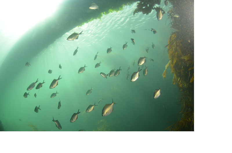
When the kelp is in full bloom, this is one of the nicest shore dives in Tasmania. For the visitor it is the perfect introduction into the splendour of a Macrocystis kelp forest. Entry is from the shore near the Fortesque Bay boat ramp. For obvious reasons boat traffic is the major hazard. Show a dive flag to warn boat owners. The bottom is dominated by sand and rock, and these patches of rock form holding points for vast columns of kelp that rise to the surface ten metres above. The patches of sand on the bottom reflect the sunlight to make the dive bright and clear. Good visibility will make this dive an unforgettable experience. The kelp also attracts a lot of fish life and abalone are easily found. The quality of this dive does vary considerably depending on natural cyclical factors. In good years the kelp can grow out in depths up to 20 metres, but has been regrettably poor lately as climate change has decimated 90% of the giant kelp on the East Coast.
Dolomieu Point
Rating 6 stars Depth: 20 metres Category 2-3
The Dolomieu Point area is occasionally attempted whenever the weather is moderate. The more exposed area on the seaward side is dived less often as most people prefer other locations in good weather. The bottom in the area is covered in large boulders that have fallen from the high cliffs above. The crevices under the rocks are covered in colourful sponges, small fish and invertebrates. The area is occasionally exposed to a slight current and can be very exposed to the swell. It is advisable to leave a person in the boat for safety reasons. The swell can also reduce the visibility which spoils much of the scenic quality.
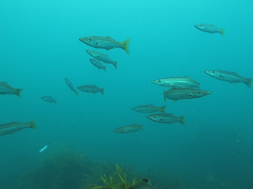
The Thumbs
Rating 7 stars Depth: 30-35 metres Category 3
Often northerly winds blow out the dive spots outside Fortescue Bay. If the seas are not too strong, you may be able to reach the shelter of the Thumbs and anchor in the lee of the islands. This is a dive that can be very spectacular in good visibility, so it is probably better as a Winter or Autumn dive. The shallows are covered in hardy varieties of seaweed, and is fairly uninteresting at first. The then wall drops away sharply into 25-30 metres and becomes covered in more colourful marine life. The seaward side drops sharply into over 50 metres, with large schools of Butterfly Perch patrolling the slope. Schools of Real Bastard Trumpeter are also seen quite often. On the southern side the seabed is reached in 35 metres but this is fairly flat and lifeless. On the inshore side of the rocks you should find a small but attractive garden of sea whips. This lies in the channel between the cliffs and the first island. As this is a deep dive a safety stop is recommended.
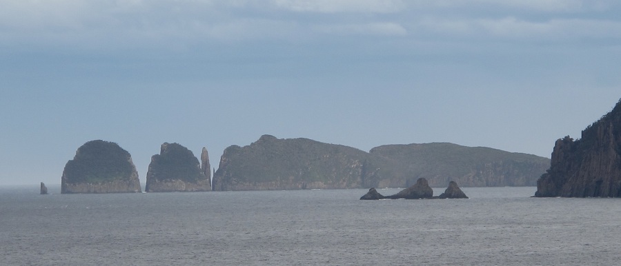
O’Hara Reef
Rating 6 stars Depth: 10-20 metres Category 2-3
Halfway between Pirates Bay and Fortescue Bay there is a large offshore reef near a prominent bluff. This bluff is named after O’Hara Booth, the former commandant at the Port Arthur penal settlement. He was particularly despised by the convicts for his cruelty, but seems to have been popular enough with the government to have this feature named after him. On this part of the coast the bottom usually drops away quickly into deep water. Here the top of the reef is relatively shallow and the whole feature slopes away only gently. The shallow water is the perfect place for a second dive. The site lacks the spectacular rock walls that are common in the area, but still provides an interesting kelp garden.
The Sugarlump
Rating 6.5 stars Depth: 15-20 metres Category 2-3
The rock itself lies close to the cliffs and is relatively inconspicuous from the surface. The Sugarlump is two large cubes of rock divided by a small fissure. This fissure is packed with colourful anemones and sponges and is often visited by large schools of fish. The area is home to a population of huge Banded Morwong and a few crays. Some big boulders provide swim-throughs that are packed with marine life. The seaward side of this small rock has been compared favourably with Muir’s Rock at Bicheno.
The Cathedral
Rating 9.5 stars Depth: 12-22 metres Category 2-3
Waterfall Bay contains some of Tasmania’s best sea caves. They are readily accessible by boat, and are set amongst brilliant coastal scenery. The bay gets its name from the large waterfall that cascades over the cliffs on the southern side of the bay. The interest in this site is well founded and it is probably the most impressive sea cave in Tasmania. The large cave dome is visible from the surface and in calm weather can actually be entered by boats. The depth inside the caves is slightly over 20 metres although depths of 30 metres can be found at other points around the bluff. The water is often crystal clear especially after long periods of calm weather in Winter. Feeding away from the main cavern is a number of relatively narrow passages. At the southern end of the main dome there is Purgatory Passage and Grommet’s Grotto a maze of small and dark passages terminating some distance inside the bluff. To the north there is the Cathedral Arch which opens out into Waterfall Bay. Nearby and slightly to the west are the Aisles, Bullseye Chapel and the Catacombs. These mazes of tunnels also open out into Waterfall Bay. Although the passages are dark, light from the openings can still be seen for most of the dive. The large schools of Bullseyes found there are an impressive sight especially when framed against the light. The area near the openings also supports a colourful array of sponges, hydroids, ascidians and sea anemones. Obviously a reliable torch (preferably two) is a necessity and bring a camera if you have one. Inexperienced divers should buddy up with an experienced guide, or stay close to the cave openings.
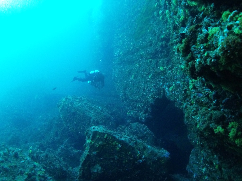
Waterfall Cave
Rating 6 stars Depth: 4-15 metres Category 2
The area near the waterfall is extremely popular and boasts a number of smaller caves including one right under the waterfall. The Waterfall Cave (also called Horsehoe Cave) is a fairly short swim but is large enough to have been a shark haunt at various times. This is invariably a harmless seven-gill shark, usually no bigger than one metre in length. He is very curious and not at all interested in biting you. Waterfall Cave has a loop that allows you do a full circuit and come out near where you started. Nearby there is another similar T-shaped cave called Dogleg Cave which is quite deep (approx 50 metres) and has two entry points. The depth varies from 15 metres at the opening to 8 metres in the back. When you have finished with the caves you may wish to have a second dive on the nearby reefs. There are a number of large boulders and a kelp garden in shallow water near the waterfall. During heavy weather diving in the caves is not possible. In the caves the noise created by the crashing waves can injure your eardrums. The cliff tops can be reached via Waterfall Bay Road, and this is a handy vantage point for assessing the weather. Torches are required for the majority of the caves in the area.

Waterfall Bay- Lookout Bluff
Rating 6.5 stars Depth: 5-9 metres Category 2
In the northern extent of the bay, just under the Waterfall Bay Rd lookout, there are a number of interesting formations. The Split is an almost unnoticed narrow cleft in the sedimentary rock. It is found about halfway between the end of the bluff and the large rock spire to the south west. It is a few metres to the left of a small cave which can be easily seen on the surface. The crevice doglegs and exits back inside the bay near the rock spire. The Split once contained large crayfish and is still packed with anemones and other colourful marine life. Nearby is the massive ‘Crossroads’, a large cave that is intersected by another fissure heading north-south. This cave is easily seen from the surface behind the rock spire. These are not the only formations in the area. There are reportedly several similar formations at Patterson’s Arch and probably more in between. Try a bit of exploring and see what you can find!
Blowhole Area
Rating 6 stars Depth: 15-20 metres Category 2-3
This is not a dive in the Blowhole but along the coast adjacent to the feature. Divers must not enter this dangerous tunnel. The nearby sea terrace is a very good shore dive in favourable weather. The entry and exit on this site can be quite challenging. If you have any doubts wait for calmer weather. The best entry is from the sea terraces although you can wade out over the gravelly inlet in calm seas. It is easy to step down some deep holes here and this can be dangerous when weighed down with full scuba gear. The sea terrace drops away quickly into a wide shelf in about 9 metres. This drops off again into a seaweed garden in about 15 metres. This is the most attractive part of the dive, especially the weed garden on the southern side. This dive is very attractive and convenient, but is in a relatively exposed position. Bring an experienced diver with you who has some experience in assessing sea conditions. Exiting can be difficult and the dive should not be attempted in a big swell.
Wreck of the S.S. “Huon”
Rating 5 stars Depth: 2-4 metres Category 1
In 1923, the S.S. “Huon” was at anchor after loading timber at Pirates Bay. A heavy gale sprang up and her anchors dragged, causing her to drift onto the rocks. All that remains of this small steamer is an engine block and propeller shaft. The wreck site is almost on the end of Fossil Island on the edge of the sea terrace. It is situated near a clump of small rocks lying on the sea terrace. The best way to find it is to snorkel along until you see what looks like a big rock sitting away from the reef. This is the engine block. The site is usually covered in weed and a lot of fun can be had just poking around the reef. The site is sheltered and is suitable for new divers or snorkellers. Unless you have a boat the wreck is quite a long swim and requires a degree of physical fitness.
Ship File – “Huon”
Built: 1888 at Hobart
Dimensions: 100 ft x 16 ft 8 in x 16 ft 2 in
Features: Wooden coastal steamer of 73 tons
Sisters Rocks
Rating 10 stars Depth:10-45 metres Category 2
This series of rocks 12 kilometres to the north of Pirates Bay offers some excellent deep diving. The best diving is on the seaward end of the Outer Sister. Here huge schools of Butterfly Perch patrol the vertical drop-off. At the base of the drop-off there are large forests of sea whips, up to two metres in length. Numerous large bommies and good fish life is a feature of this dive. The water is normally clear especially in Winter. Good diving can also be found on the many rock walls and reefs along the sides of the island chain. The diving is particularly good on the rock walls between the Second and Outer Sister. They are noted for good fish life, sponge gardens and large patches of yellow zoanthids (sea daisies). The area is very exposed and the rocks are subject to a noticeable current at times. It is also very easy to lose track of the time and fin too vigorously on this dive. Therefore, divers should be very careful about dive times and always do a safety stop.
Sundial Caves Area
Rating 7 stars Depth: 15-35 metres Category 2-3
If you have access to a depth sounder the eastern side of Forestier Peninsula is a great place to look for less frequently dived bommies away from the shore. Twin Peaks is the name given to a cluster of rock spires about 100 metres offshore about 1 kilometre south of Deep Glen Bay. There are known to be many other similar formations in the area. The spires can be seen from the surface on a very clear day. The tops of the 20 metre high bommies which reach within 4 metres of the surface. The bottom throughout the area varies in depth from 15-30 metres. The best diving is around the rock walls in 20-25 metres. Here is enough marine life on the rock faces to keep photographers and naturalists busy for the whole dive. Sundial Caves is a nearby maze of cracks and tunnels that are very spectacular especially in good visibility. The many features include a 6 metre wide crevasse partly covered by huge boulders opening into a huge granite amphitheatre. the whole area is very photogenic and covered in interesting marine life.
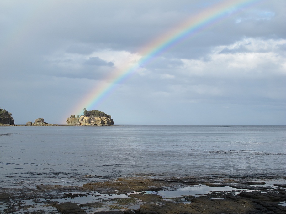
Deep Glen Bay
Rating 8 stars Depth: 30 metres Category 3
On the northern extremity of Deep Glen Bay a large reef extends out to sea from the point. Close to the shore it is only 15 metres and the bottom supports a large weed garden which is covered in the usual varieties of reef fish. The bottom then drops off sharply in a series of narrow ledges into a maximum depth of 35-40 metres. In order to extend the dive time it is better to remain at about 30 metres where there is still plenty to see. The rock faces are covered in colourful sponges, hydroids, gorgonia fans and anemones. The whole area is very exposed to inclement weather. The rest of Deep Glen is also very attractive. Eaglehawk Dive Centre have located many interesting rock walls and sea caves.
Cape Surville
Rating 6.5 stars Depth: 25-35 metres Category 3
To the north of Cape Surville there is a shallow anchorage that is relatively protected from southerly swells. This small area has an unusually good variety of seaweed and reef fishes. It is a good place to anchor for a dive on the granite wall of the cape. For much of the dive simply follow the rock wall. The site often enjoys good visibility and the rock wall can be quite spectacular. If you go close to the rock face you will notice many interesting growths including large patches of yellow anemones. It would be wise to return early and complete a safety stop in the shallow kelp garden. There is deeper rock wall diving on the seaward and southern sides of the cape.
