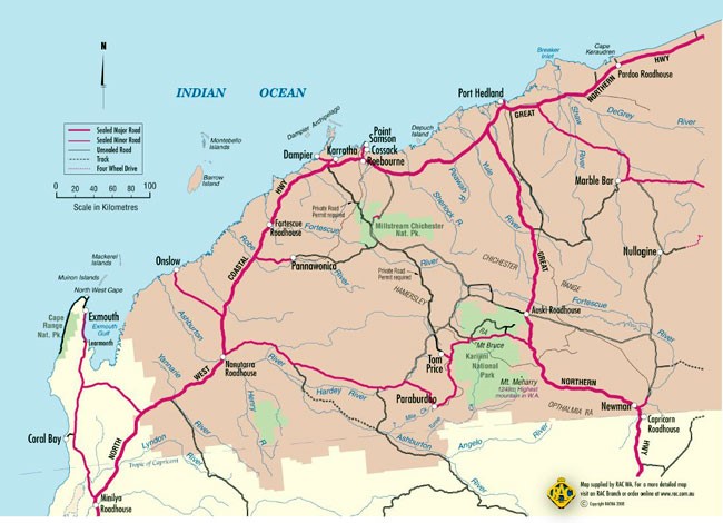
Western Australia is the largest State in Australia and comprises about 40 per cent of the continental coastline of Australia. It spans many climatic zones from the humid tropics north of North West Cape to the cool and arid South Coast in the Great Australian Bight. The temperate and tropical waters overlap in the middle between Cape Leeuwin and NW Cape.
The most significant influence on the waters of the continent’s West Coast is the Leeuwin Current that transports warm and nutrient poor water from the tropics. The current allow tropical species to penetrate further south than any other place in the world. It also makes the water pretty agreeable for swimming. Although flowing year round, the current is stronger and closer to shore during autumn and winter due to the absence of the opposing southerly wind.
Other major influences on the marine environment of Western Australia are regular severe cyclones, Additionally, much of WA is arid and this means low level of freshwater runoff, the exception is the far north with its big wet season outflow. Big westerly swells means that the coastline is often blasted with high wave energy.
The north has a big tide range and strong currents. The tropical climate is divided into the wet (during the southern summer) and the dry (the austral winter).
The coastline encompasses 18 different biogeographic regions. Tropical speciestend to be more widespread throughout the Indo-Pacific region. What they lose in diversity they make up for in size, numbers and colour.
