South-East
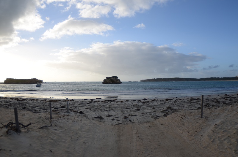
The farmlands of the “Limestone Coast” of South Australia lie 4-6 hrs driving from Adelaide. This is an area that shares much with western Victoria including cooler air temperatures. The average temperature is 18 in summer and 14 in Winter, but it varies as much as 2-3 degrees between the Murray mouth and Port MacDonnell. It is usually hot in Summer and wet in Winter although drizzle is frequent even during the Summer. The coastline is generally very exposed, from the North-West to Southerly and anticyclones moving across the Bight cause long periods of rough weather. The area is very exposed and swelly, especially in the June-September period. SW winds are common in Summer and during Winter SW-NW winds prevail. On the plus side visibility is usually good when you get the right weather. The continental shelf is closer to the coast in the area south of Cape Jaffa where you should be on the lookout for different deepwater pelagics.
There is no real diving from the south east from Victor Harbour to the south-east of Kingston as this is the region of the incredible Coorong National Park. The Coorong is a long narrow lagoon extending for 145km between the mainland and the Southern Ocean, running parallel to the coast. This complex of low lying salt pans and clay pans is never more than 3km wide. The lagoon is separated from the ocean by the towering white sand hills of the equally narrow Younghusband Peninsula. The Coorong is a natural bird sanctuary with giant Pelicans, Shags, Ibis, Swans and Terns. Most of the region is inaccessible but there is a track into the Coorong proper off Salt Creek.
From Cape Jaffa south-west of Kingston the coast changes dramatically, forming large bays more inland lagoons and seawater lakes, until finally Port MacDonnell is reached just before the Victorian border. There is interesting diving off some of the headlands along this 200km stretch, but it is not frequented by too many divers. There is a line of reefs extending out to Margaret Brock Reef, 8km west of Cape Jaffa. Both the Cape and the Reef are marine sanctuaries. Although largely unexplored by sport divers, there is fine diving with excellent marine life.
Historic Robe on Guichen Bay is well worth a visit, if not for its diving, then certainly for its character. In the 1850’s it was a major wool shipping port. In 1857 over 10,000 Chinese disembarked at Robe and made the long trek to the Victorian goldfields. The town is now an attractive fishing village and lazy holiday resort with a range of accommodation and a few fine restaurants. There are diving facilities. Local shore diving is interesting but does not attract many visiting divers. Nearby Nora Criena, a shanty town of fishing shacks, and occasional nudists, is worth a visit. A boat is usually needed to access the best areas although shore diving is possible in good conditions.
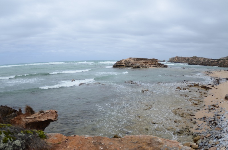
 Rivoli Bay west of Millicent has several wrecks but little is known of the diving here, as it is rarely visited. The stretch between Cape Banks and Carpenters Rocks is interesting diving with prolific marine life but the area is particularly exposed to the Southern Ocean hence great care is needed. Shore diving is possible.
Port MacDonnell, 14km west of the Victorian border was once a thriving port but today is a quiet village of less than 1,000 residents, with the largest lobster fishing fleet in South Australia. Mount Gambier is 28km north. The coast is rugged and on a fine day there is good shore diving with the possibility of seeing a few crayfish.

Cape Jaffa
8-12m
From the beach launch at Cape Jaffa a short boat journey gets you to the point near the old lighthouse, where it is all reef for a couple of kilomteres in any direction. There is also a line of reefs stretching out to sea towards Margaret Brock Reef some eight kilometres west of Cape Jaffa. Reefs are close to the surface and can be a hazard to navigation. The area within 55 nautical miles of the lighthouse in any direction is a marine reserve, so nothing can be taken. There are ledges everywhere, with lots of gorgonias, sponges, and the occasional weedy and leafy seadragon. This area is right at the meeting place of the western warm temperate waters and the cooler temperate zone currents and plenty of odd fish will make this an interesting experience.
Cape Jaffa jetty
1-3M
This jetty offers the prospect of some sheltered diving if the weather is poor elsewhere, but it isn’t very deep. There is a large stingray that tends to come around the jetty in the evening, and a few cow fish and toadies. The area usually doesn’t have many large fish. Beware of cray boats needing to use the wharf.
Guichen Bay Robe
 Robe is generally a safe harbour with clear waters, white sand and large sea grass meadows. These meadows are a nice place to snorkel in rough weather as it has some small marine life of interest.
The nearby Godfrey Islands provide a good boat diving alternative close to Robe. There is good diving in lee of island. There are seals on the island.
Robe- Cape Dombey area
7- 12M
Cape Lannes and Cape Dombey are close to the the site of the Robe lighthouse. The lighthouse was built in 1972 to replace the Cape Jaffa lighthouse and is a popular tourist lookout. When the weather will cooperate, there is a lot of shallow kelp-covered rocky bottom around the capes for snorkelling or diving. The limestone reef holds a series of small crevices, ledges and overhangs. I the deeper waters in 12 m there are large boulders and caves with interesting marine life. The shallow Robe jetty can be dived or snorkelled but often suffers from poor visibility.
Stinky Bay
4-8 Metres
Boat launches can be made from Nora Creina Bay 20 km’s from Robe. The next bay around the point is Stinky Bay which is full of exposed reef, all of it good diving. The dive is on shallow limestone ledges. The reefs have weedy seadragons, wobbegong’s, rays and other fish as well as great sponge and soft coral life.
Beachport
Approx. 5m
Reef based fish life in the bay between South End and Beachport is generally good including some leafy seadragons. Post Office Rock and a few other bays have easy access with interesting small marine life under the ledges. Great for a night dive. Beachport jetty is very accessible but often suffers from poor visibility. The area is also very popular with anglers. There is interesting small marine life to photograph around the breakwaters, and southern rock lobster well protected under long rock ledges. The area, like much of the Limestone Coast is very exposed to bad weather.
Southend
A lot of shallow rocky reef can be found in the area offshore from the northern end of the national park. The area is very exposed.
Wreck of the “Geltwood”
GPS 140 10’51’’ E 37 37’ 36” S
The “Geltwood” was a three masted iron hull barque of 215.7 feet (65.2 metres). She was built in Scotland in 1876 and left Liverpool that March for Melbourne. She was carrying a valuable general cargo. By July 1876, the “Geltwood” was off the South East coast in a heavy storm. Distress signals were seen and heard in the region but no-one knew where they has come from. Then exposed rigging was seen a mile offshore, 10 miles (16 kilometres) south of Rivoli Bay. There were no survivors of 31 people aboard. The wreck was forgotten.
In 1980, fisherman sighted a wreck from the surface, lying level with the northern end of Lake Bonney. After a survey, the wreck “Geltwood” was declared a Historic Shipwreck because of its archaeological significance and significance to the south-east. The “Geltwood” wrecksite is apparently a spectacular dive but is undiveable on most days because of the continual swell. A large part of the shattered iron hull is still recogniseable with masts and yards and lying around the reef. The ship’s anchors and chain can be seen at the seaward end.
Thickly concreted cargo remains such as fencing wire can be seen together with some of the slates, bottled ales, hardware and crockery. There is some sensitivity around this site, so if you want to keep diving it, do not disturb the wreck or its cargo.
Wreck of the “Admella”
5M

In 1859, the “Admella” was sailing from Adelaide to Melbourne when it struck Carpenters Reef. A design fault in its iron hull caused the ship to break into three pieces after only 15 minutes on the reef. Passengers and crew clung to the wreckage for up to a week with little water and food. Mountainous seas and severe storms continually drove the rescuers back and lives were lost as the lifeboats were swamped. Eighty nine people lost their lives on the wreck and in the many rescue attempts.
For years metal plates from the ship were used to reinforce and secure crumbling walls in the Robe gaol. Gradually the wreck almost drifted from memory until 1957 when skindivers recovered 250 tons of copper. At Cape Banks a cairn commemorates the wreck. The area is very exposed and rarely dived.
Wreck of the “Corio”
 2m
2m
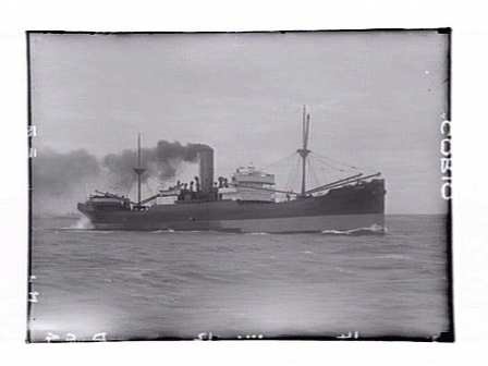
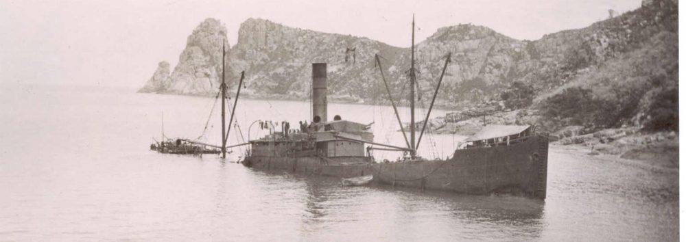
The “Corio” sank in the same area in the 1950s. The “Corio” can be seen disintegrated in the waist deep shallows of Cape Banks.
Port MacDonnell
2-5M
Port MacDonnell is a handy service centre housing South Australia’s largest rock lobster fishing fleet. There is a sheltered breakwater with some interesting muck diving when the weather is frustratingly rough elsewhere. Nearby Racecourse Bay is also interesting with attractive limestone reef with good fish life.

Mt Gambier Cave Diving
SA is possible the best place in Australia for cave diving. The Mount Gambier caves have good nearby facilities and offer a range of diving from the relatively simple to the very dangerous and technically difficult. Being inland they also offer dives when the exposed ocean coast is too rough. Apart from some surface swims on snorkel over exposed features like Ewen Ponds, all of the dives will require specialist CDAA training, which can be gained from local dive stores.
CDAA Category 1 dives
Ewen Ponds, Baby Blue, Goulders, Hell Hole

CDAA Category 2
Piccaninnie Ponds, Eloh Elap, Black Hole, One Tree, Ten Eighty, Sisters, Scrub Hole

CDAA Category 3
Allendale East, Pines, Max ‘R’ Hole, Bullock Hole, Shaft, Fossil Cave
